
Antarctic sea ice in 2026: third-lowest maximum is not a minimum
NASA's new update reports a low seasonal maximum. The word maximum matters, and sea-ice extent is a defined area measurement rather than the thickness of the ice.

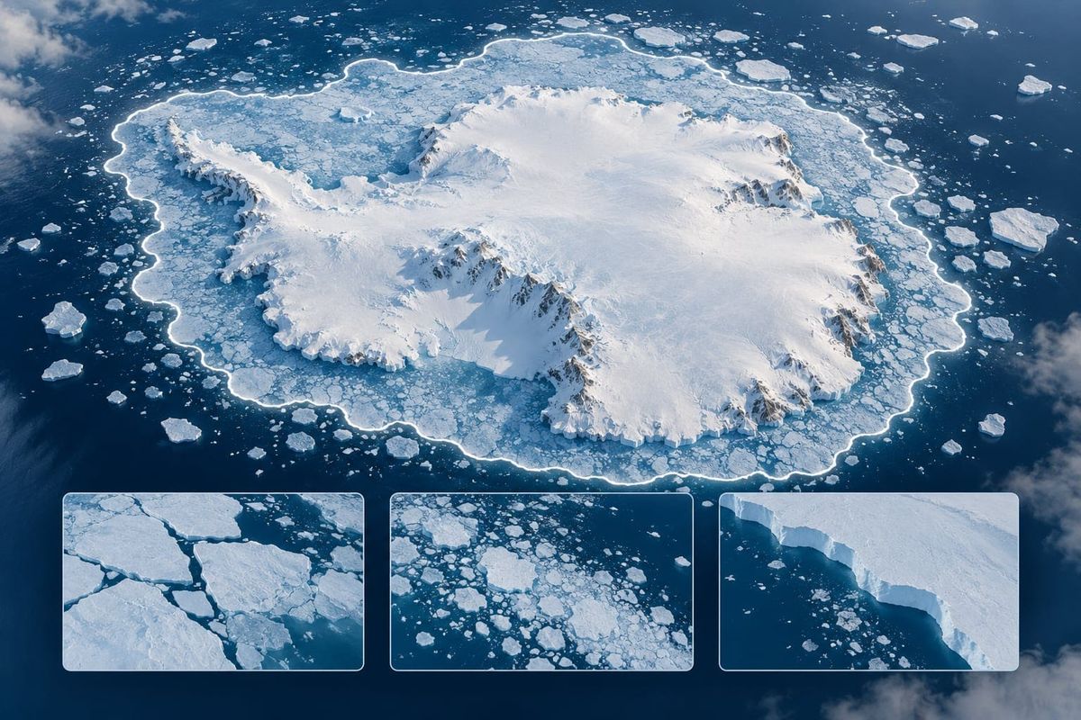
A low maximum can sound contradictory until the seasonal label is explained. NASA's October 12 sea-ice update describes Antarctica's third-lowest annual maximum in the satellite record. It is a winter peak compared with other winter peaks, not the year's minimum.
What the new update reports
the official report says Antarctic sea ice likely reached its annual maximum on September 14, at an estimated17.59 million square kilometres. It describes that as the third-lowest maximum on record. The article was published today, while the measured seasonal event belongs to September.
The timing qualifier and the metric are retained. We have not reanalysed satellite data or derived a prediction from this single observation.
Why this matters for a climate statistic
The metric's name determines the comparison. A maximum belongs with other maxima. An extent is an area definition, not a measurement of thickness or volume. Removing either label changes what the number can tell the reader.
NASA explains that the extent includes areas with at least15 percent ice concentration. That threshold is part of how a region is counted in the satellite data. It does not say every counted square kilometre is a solid slab of identical ice.
Example: a measurement card
- Metric: sea-ice extent, with the definition attached.
- Seasonal state: the annual maximum.
- Timing: likely September 14, reported in the October 12 update.
Keep an interpretation field separate. Before comparing another statistic, ask whether it uses the same metric and seasonal state. A minimum, a concentration map or a thickness estimate should not be silently substituted.
A science page can use that check to make a data story understandable without turning one number into a complete forecast. The next piece of evidence might refine context, but it does not retroactively make the first observation broader than it was.
A YouTube climate-data checklist
- Keep “maximum” in the headline.
- Write the area unit beside the figure.
- Retain “likely” for the peak date.
- Distinguish the publication date from the seasonal event.
The image is a conceptual ice scene and blank map panels, not a measured extent map. It cannot be used to read an area, trend or concentration from its colours.
This article offers a measurement-reading aid and source-backed news context. It does not independently settle a long-term projection or promise an audience result for science coverage.
Frequently asked questions
Is this the annual minimum?
No. NASA's update concerns the annual maximum.
Does extent measure ice thickness?
No. It is an area definition using a concentration threshold.
Was the peak observed on the publication date?
The October 12 update says it likely occurred on September 14.
Sources
Source checked on October 12, 2026: the official report. Its original publication date is preserved; the examples and publishing notes are Crescitaly's editorial analysis.
Related resources
If you publish an adult-facing page about this subject, keep your own voice and verified sources. Explore the Crescitaly blog, then compare Crescitaly services and Crescitaly publishing tools for your project's needs. Optional Crescitaly resources, not a source partnership or a guarantee of reach.